 World's largest video images
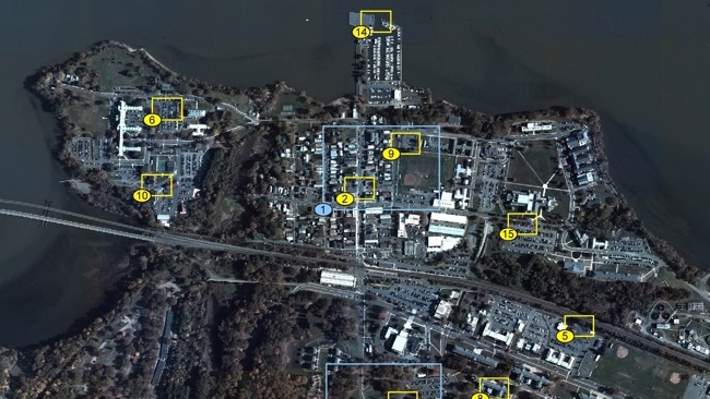
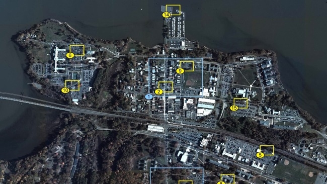
Imagine Google Earth or Google Maps represented not as a still image, but as a full-motion video, showing the positions of cars, people and even birds in real time
Such a system actually exists, and while it only covers selected areas, and can "only" manage 12 FPS, it is an impressive demonstration of the possible as opposed to being a mere science fiction concept.
Using an array of 386 5 megapixel smartphone sensors, Darpa's ARGUS-IS system captures 1.8 Gigapixel video at 12 frames per second.
The field of view is quite astonishing: one of these sensors can cover half of Mahnatten.
According to Extremetech.com, the system generates a data flow of 600 gigabits per second which adds up to 6 petabytes (6,000 terabytes) per day. The website suggests that in order to transmit these images wirelessly, some pre-processing must be done within the drone that's hosting the ARGUS system.
Here's an unusually frank video explaining the capabilities of the system that you might reasonably have assumed would be secret. We can only assume the purpose of this is to make us small insignificant life-forms scurrying round on the ground realise that in the future we will be being watched.
Tags: Technology


Comments